Prev
Monthly Display - November 2024 - Page 4 (of 5)
Next

Neil Huggett's Gallery | Home Page Menu


The Summit Track - Continued...


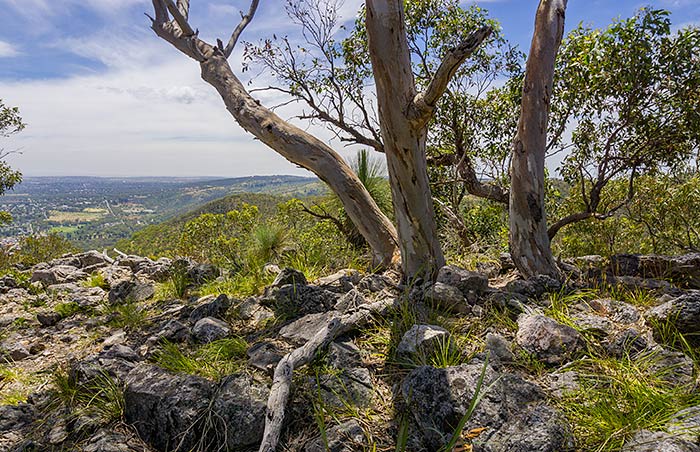
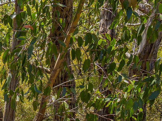
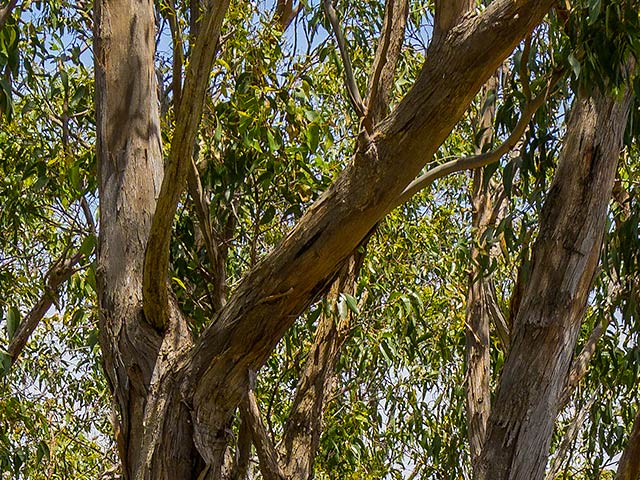
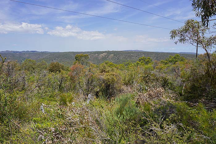
View to the North, with close Trees


6000 x 4000 pixels digital photograph developed using Adobe's “Lightroom Classic” software from a RAW file taken with a Sony A6000 Digital camera.
Taken at Black Hill Conservation Park, 24th November 2016, 12:48 pm.

I continued along the track a little and saw that there was another peak higher than where I was. I continued. The track was now going along the top of the outcrop I had been coming up. The area I was now going through had more small trees, and had more small bird-life. I saw a couple of larger black cockatoos fly across and perch in some small trees nearby. I heard some wrens in the small shrubs all around. I noticed that as long as I kept walking along the track, making crunching sounds from walking on the rocky trail, the wrens were happy to chirp. As soon as I stopped making noise, they would stop their chirping as well.


Detail 1:


Detail 2:


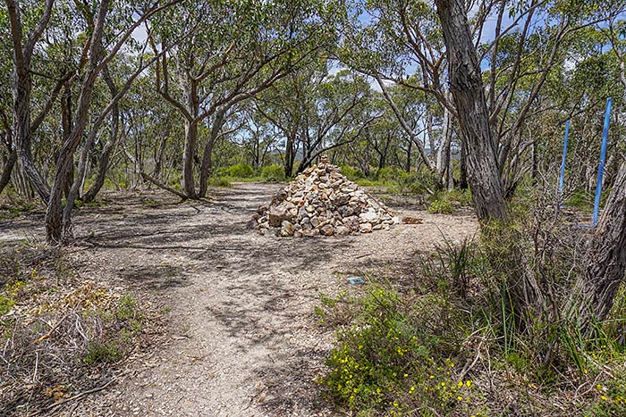
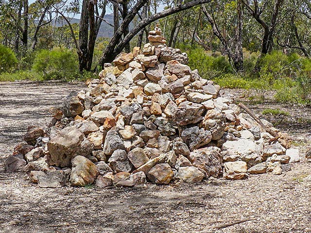
Black Hill Summit


6000 x 4000 pixels digital photograph developed using Adobe's “Lightroom Classic” software from a RAW file taken with a Sony A6000 Digital camera.
Taken at Black Hill Conservation Park, 24th November 2016, 12:58 pm.

I continued and eventually came across a clearing surrounded by small trees, with a pile of rocks about 1.3 metres high that to me indicated the summit of the mountain. I looked about to see if the summit gave me any good views of the surrounding areas, but all I could see were scenes as if inside a forest of small trees, similar to the photograph shown here. Maybe there would be some spots on the main vehicular track (that ran through the top of the park) that would allow me some good views of some of the surrounding areas.

There was a wide vehicular track on the other side of the pile of rocks that seemed to make its way to the main vehicular track I had been looking for. As I walked along that first track, I heard a strange crackling sound. I worked out that the crackling was coming from high voltage electricity lines that were nearby. There were about 6 lines running across large gantries spanning the park, and coming across from the mountain peak to the south. This was obviously carrying a huge load of electricity – possibly one of Adelaide’s main distributors.

It was 1:10 pm, and I decided to stop and eat my lunch, but away from the crackling noises!


Detail 1:


Detail 2:


Along the Top Ridge


After lunch, I went for a walk towards the north to see what views easily presented themselves. The forest of small trees on the top of the mountain made it difficult to see the views that may have been all around. I could see glimpses of nice views to the east, to the south and to the north. I went north along Black Hill track.


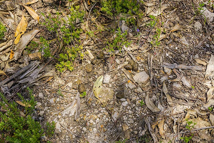
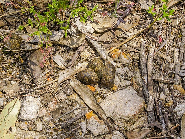
Wallaby Droppings?


6000 x 4000 pixels digital photograph developed using Adobe's “Lightroom Classic” software from a RAW file taken with a Sony A6000 Digital camera.
Taken at Black Hill Conservation Park, 24th November 2016, 1:22 pm.

I saw quite a number of similar groupings of droppings like these throughout the region at the top of Black Hill. They would indicate that there was a good population of the animals that produced these, living up on top of the mountain.


Detail 1:


Detail 2:


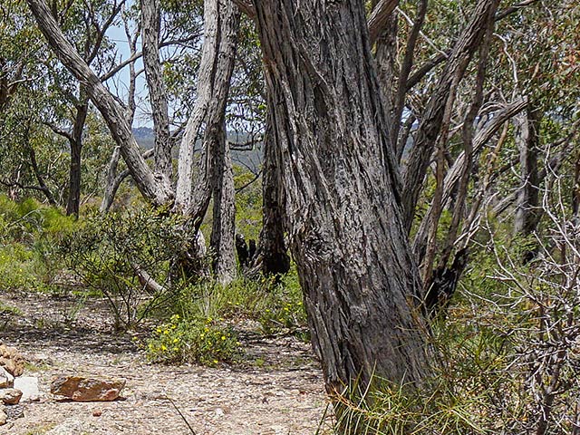
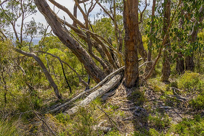
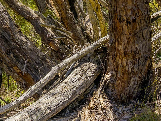
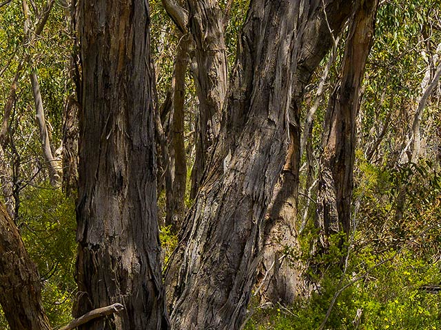
A Stand of Small Trees with a Fallen Trunk


6000 x 4000 pixels digital photograph developed using Adobe's “Lightroom Classic” software from a RAW file taken with a Sony A6000 Digital camera.
Taken at Black Hill Conservation Park, 24th November 2016, 1:33 pm.


Detail 1:


Detail 2:


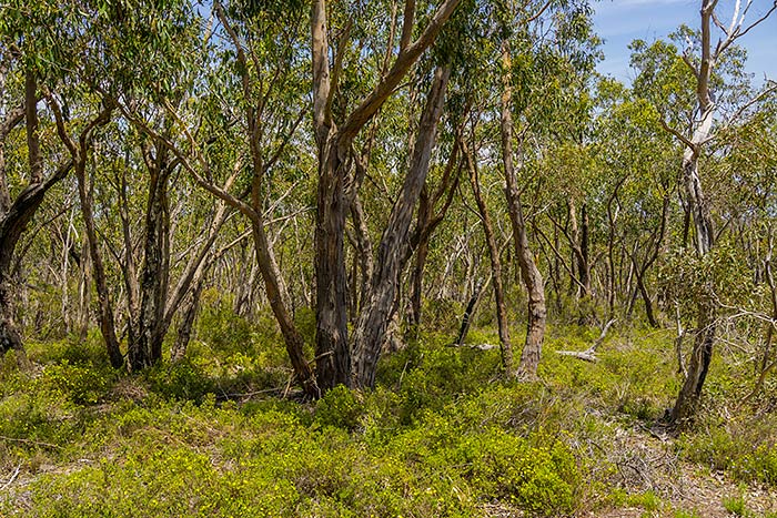
The Forest at the Top


6000 x 4000 pixels digital photograph developed using Adobe's “Lightroom Classic” software from a RAW file taken with a Sony A6000 Digital camera.
Taken at Black Hill Conservation Park, 24th November 2016, 1:48 pm.


Detail 1:


Detail 2:


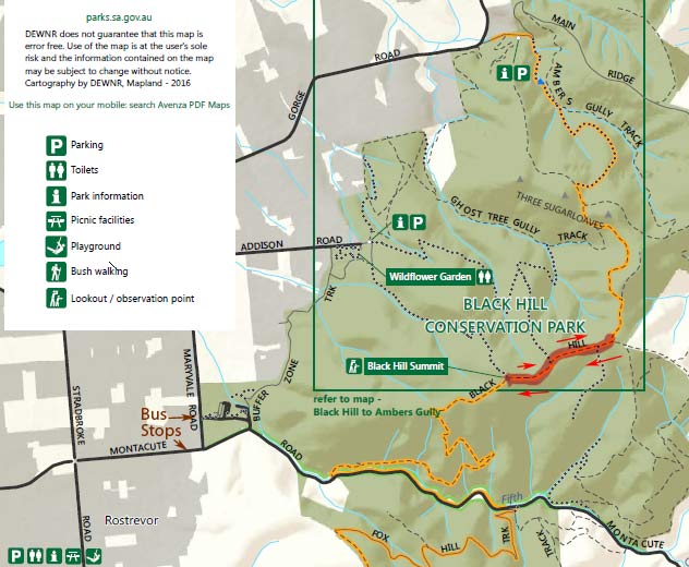
I went north along Black Hill track until I saw views of the Three Sugarloaves, and realised that they were still some distance away.

I was feeling tired and knew that it would take me some time to get back down again. I had been in the park for 3.5 hours already. I realised that the mountain and the park were larger than I had originally expected. I decided to turn back along Black Hill track to make my way back towards the summit, and then continue the track to make my way back down from the hill in a different way to the one I had come up.


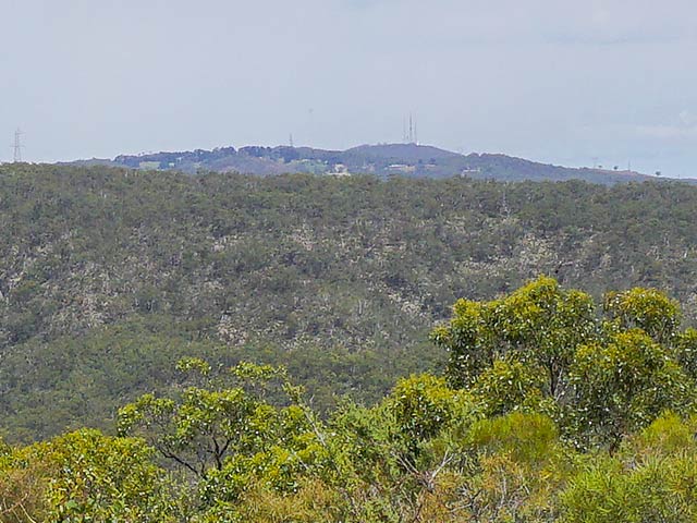
A View to Mount Lofty


6000 x 4000 pixels digital photograph developed using Adobe's “Lightroom Classic” software from a RAW file taken with a Sony A6000 Digital camera.
Taken at Black Hill Conservation Park, 24th November 2016, 1:52 pm.


Detail 1:

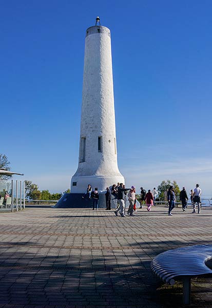
Mount Lofty is the peak at the back with the three close antennae on top. If you look very closely, you may be able to see a short vertical line of 'white' near the right antenna of the three close antennae for Mount Lofty. After having walked to Mount Lofty on a different occasion, I know that there is a tall white column (light tower?) at the Mount Lofty lookout area (picture shown immediately below), and I suspect that is what that short vertical line of 'white' is.


White column at the Mount Lofty lookout:


Detail 2:


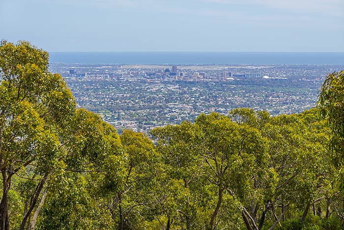
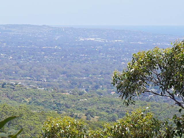
View of the City


6000 x 4000 pixels digital photograph developed using Adobe's “Lightroom Classic” software from a RAW file taken with a Sony A6000 Digital camera.
Taken at Black Hill Conservation Park, 24th November 2016, 2:11 pm.


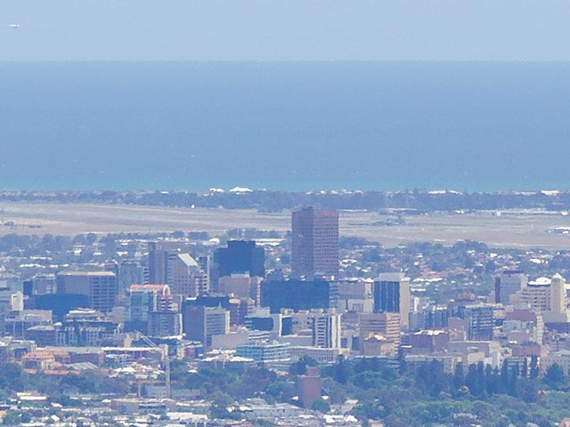
Detail 1:


An aircraft can be seen just above the horizon after having just taken off from the airport, below. The airport can be seen here behind the city buildings. I can recognise the main runway and some of the taxiways. The airport is actually situated about 5 kilometres from the city area, but looks here to be much closer.

Overall, I was impressed by the detail that was captured from quite a modest handheld 210mm telephoto lens. The features looked a bit wavy on the photograph, but that is just because of the amount of distortion through the distance of warm turbulent air.


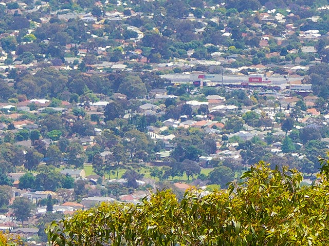
Detail 2:


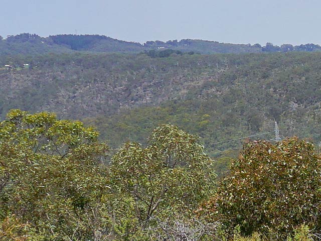
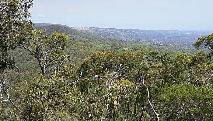
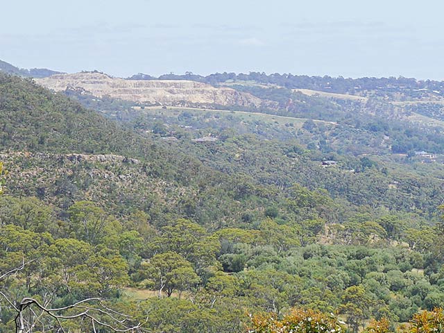
View to the South


6000 x 4000 pixels digital photograph developed using Adobe's “Lightroom Classic” software from a RAW file taken with a Sony A6000 Digital camera.
Taken at Black Hill Conservation Park, 24th November 2016, 2:14 pm.

This is a view that is looking back towards where my home is.


Detail 1:

I can recognise some features here which are near my home. The most obvious feature is the bare rock of the Stonyfell quarry. Stonyfell is the next suburb to the south of mine (Wattle Park). I regularly see that quarry from near my home.

Just below the area of bare rocks in the photograph, and extending to its right, you may be able to notice a thin pale sloping walkway sitting on top of a grassy slope. There is actually a line of small native trees above that walkway, but that is all part of a separate hill that I regularly walk to from home. That hill sits above the Kensington Road lookout and is separated from the Stonyfell quarry by a large valley.


Detail 2:

You can hopefully see the sea at the back.


Neil Huggett's Gallery | Home Page Menu

Prev
Monthly Display - November 2024 - Page 4 (of 5)
Next