| Prev | Monthly Display - November 2024 - Page 5 (of 5) |

It would mean that I would have completed a basic large loop in the park, and would be seeing different things going down to the things I saw from the path that led me up the mountain to the summit in the morning. I walked back past the place near the summit I had come from, and then proceeded south along the main track. I got some good views towards the south, the east and the southwest. The track became quite steep at one point, with wire mesh hammered onto the surface of the track to provide additional traction for vehicles, but I avoided walking on the mesh for fear of ripping my shoes from loose wire ends. |
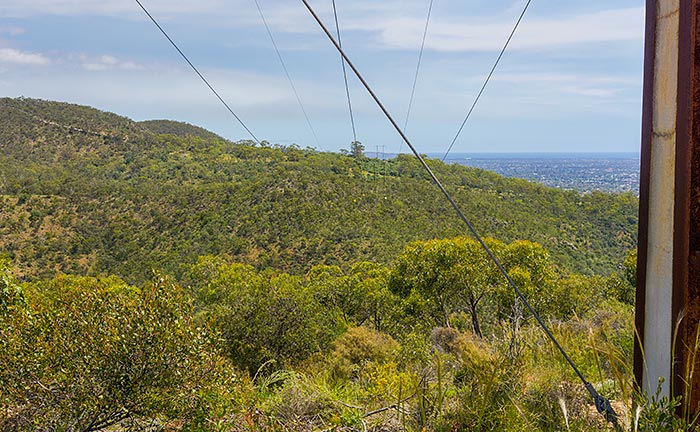
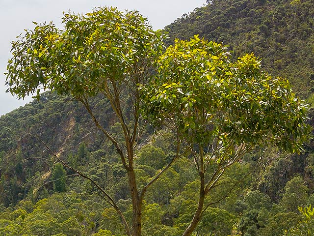
6000 x 4000 pixels digital photograph developed using Adobe's “Lightroom Classic” software from a RAW file taken with a Sony A6000 Digital camera.
|
|
|
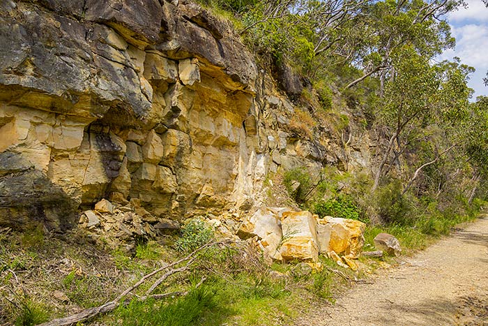
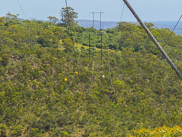
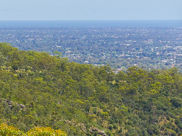
6000 x 4000 pixels digital photograph developed using Adobe's “Lightroom Classic” software from a RAW file taken with a Sony A6000 Digital camera.
|
|
|
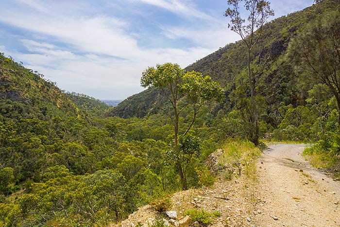
6000 x 4000 pixels digital photograph developed using Adobe's “Lightroom Classic” software from a RAW file taken with a Sony A6000 Digital camera.
|
|
|
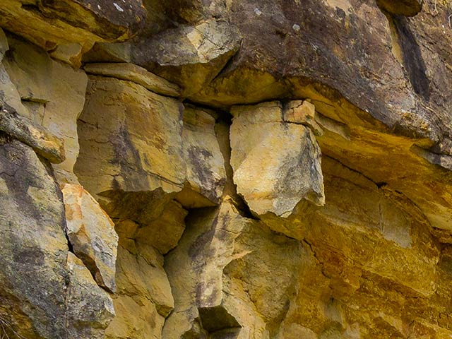
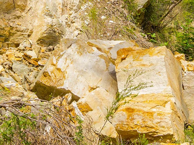
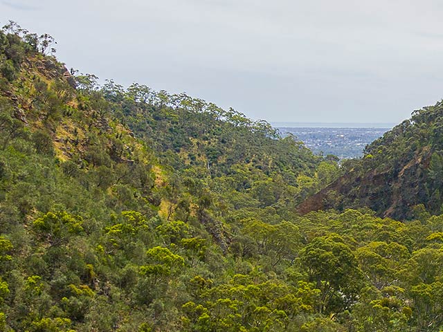
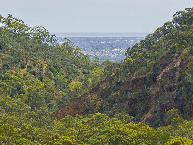
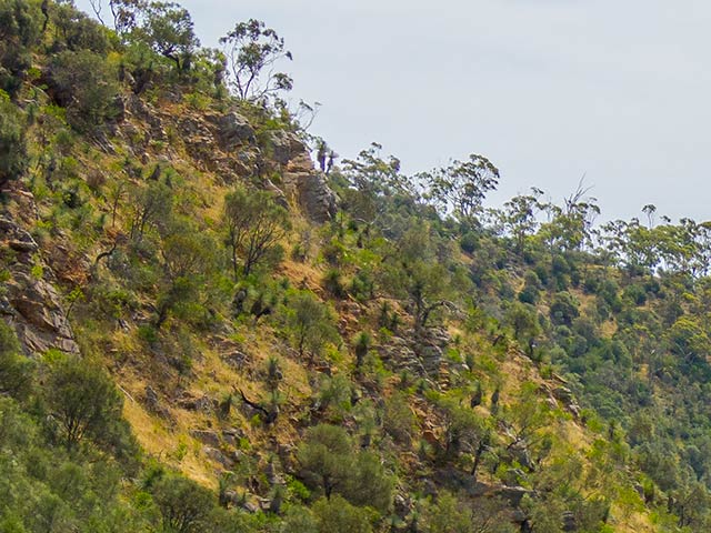
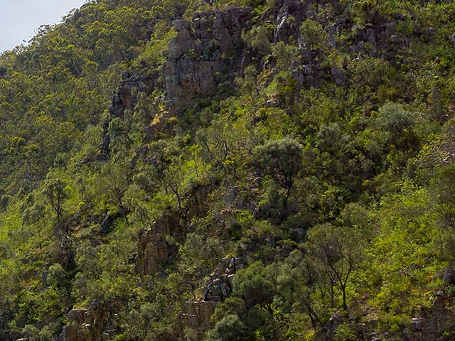
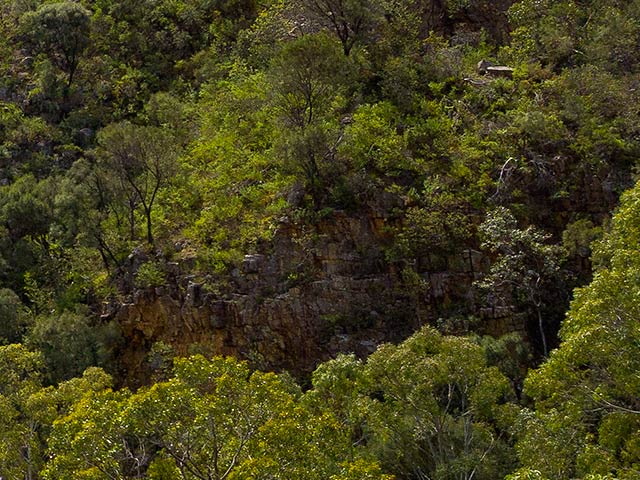
As I continued, I became increasingly aware of the amount of overhanging loose rock that was above me. I knew that if even a modest rock fell from one of the overhanging cliffs high above, that it could kill or injure me. The landscape did look stunning though. |
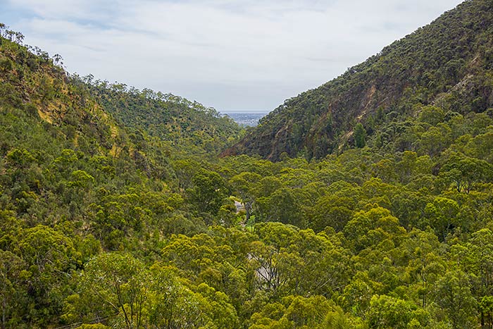
6000 x 4000 pixels digital photograph developed using Adobe's “Lightroom Classic” software from a RAW file taken with a Sony A6000 Digital camera. |
|
|
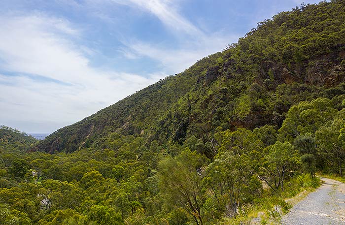
6000 x 4000 pixels digital photograph developed using Adobe's “Lightroom Classic” software from a RAW file taken with a Sony A6000 Digital camera. |
|
|
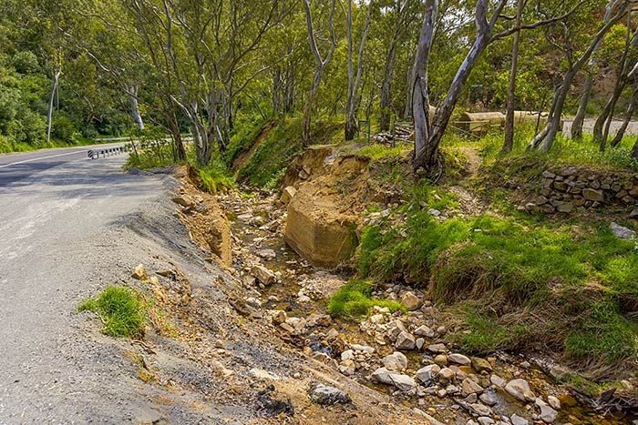
6000 x 4000 pixels digital photograph developed using Adobe's “Lightroom Classic” software from a RAW file taken with a Sony A6000 Digital camera.
|
|
|
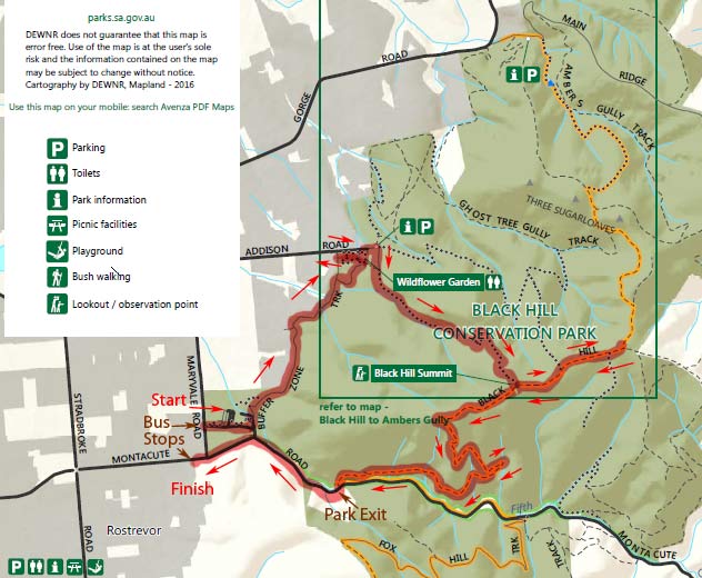
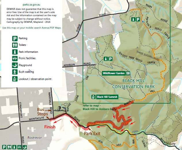
This is a summary of the loop I walked through the conservation park. It had been an excellent walk through the park, but I was quite tired. I had been in the park for about 5 hours. I was looking forward to seeing the quality of the photographs taken here. In the end, I was very happy to have gone on the trip through the park, I was happy with the usability of my new Sony A6000 camera, and impressed with the quality of the photographs it captured. I had taken about 130 photographs and 2 short videos, and not worried too much about having the camera on for long periods of time. I found that there was plenty of battery charge left for more, so I was impressed with all of that as well. Everything was helped because I was free to travel around the conservation park, my wife gave me the freedom to pursue things as I deemed suitable, I was fit enough to walk around and carry all of my things for more than 5 hours, I had my own store of food and water to allow me to be in the park for more than 5 hours, because of living in peace times (not inside a war) so I could look at many amazing things beyond just my survival, the fine sunny weather, and good level of clarity in the air. Perhaps the one big problem I encountered was the lack of toilet facilities. I used the facilities provided near the Wildflower Garden, before climbing up the track towards the summit, but from what I could see from the map, they were the only toilet facilities provided for the whole Black Hill Conservation Park. I certainly would have liked another toilet facility to be available up near the summit, or somewhere along the main vehicular Black Hill track. As it was, I needed to hold on without going to the toilet for about 5 hours (I needed to wait until I got back home, after getting back to the bus stop to take me back home)! Toilet facilities are extremely important. I can understand that toilet facilities are unfortunately not appreciated by everyone, and are often vandalised or ruined for some reason. This is a sad reality of the local Australian society - that some people don't seem to be able to behave themselves when they think that they won't be caught doing what they feel they want to do (pathetic!).
End of this month's display. |
| Prev | Monthly Display - November 2024 - Page 5 (of 5) |