| Prev | Monthly Display - November 2024 - Page 3 (of 5) |

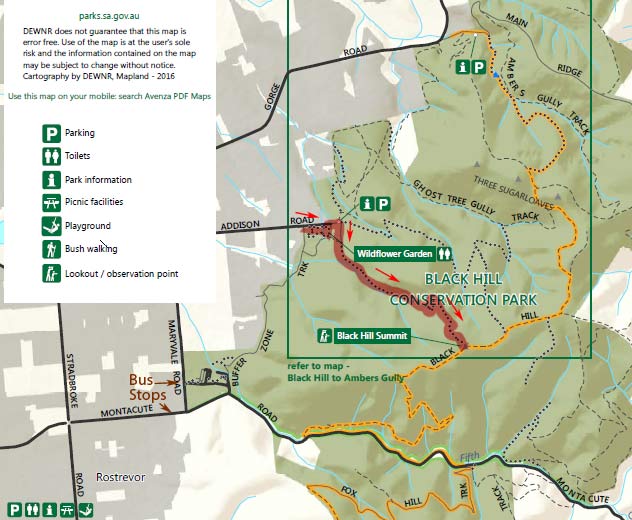
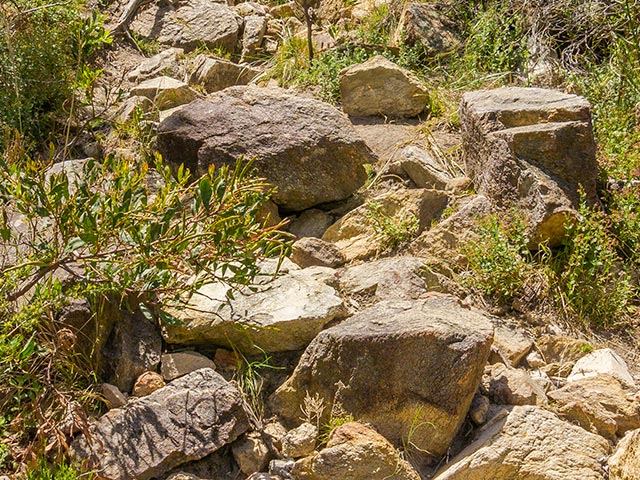
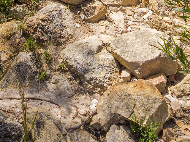
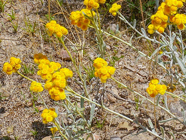
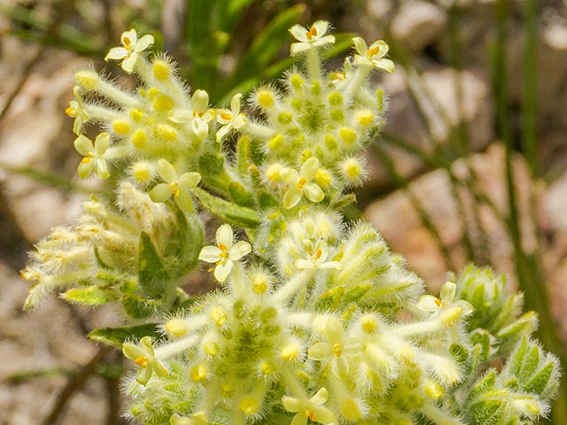
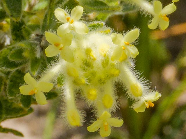
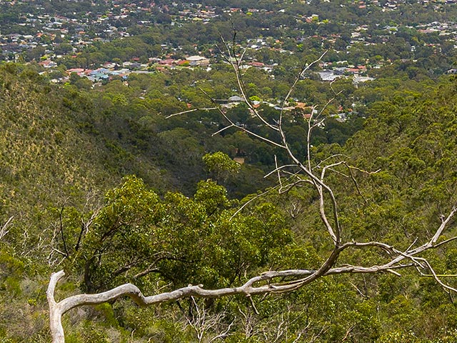
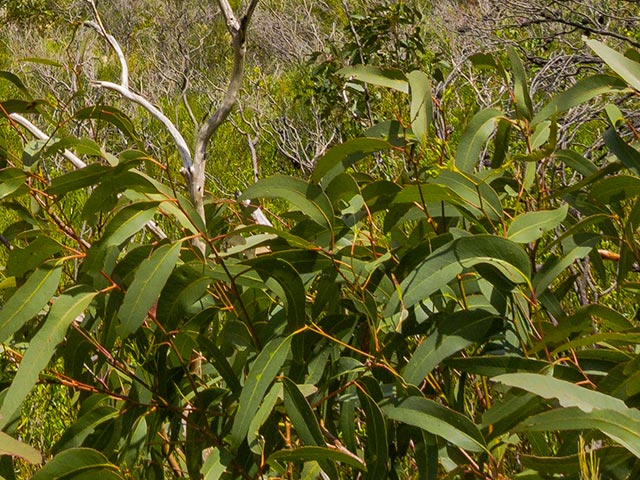
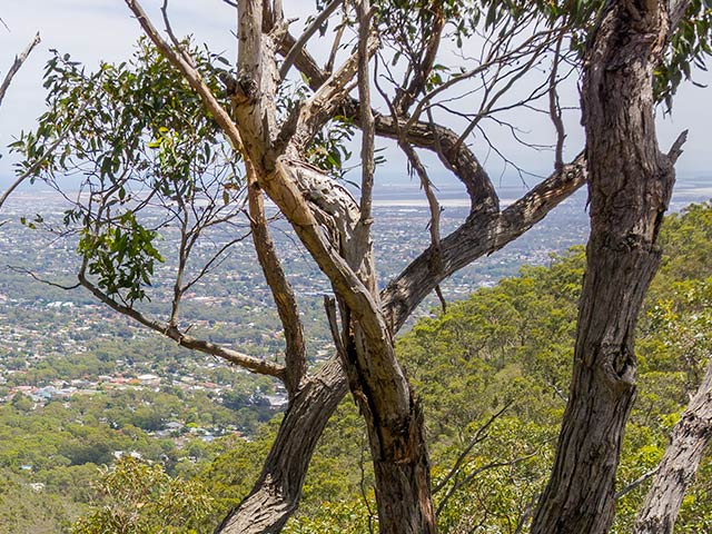
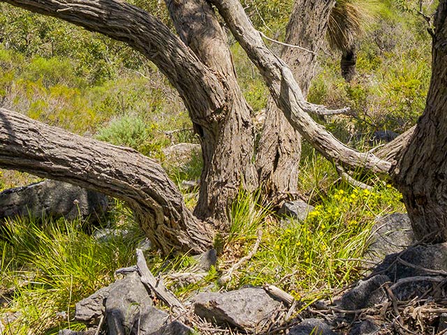
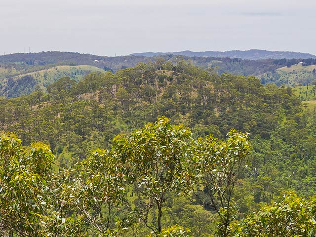
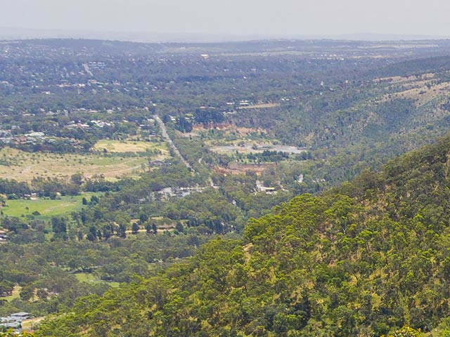
11:50 am. I decided to start up the rocky track towards the mountain summit. The track started wide enough for motor vehicles, but quickly shrank down to the width of a single file walker. The rocky track kept working its way up higher and higher, along the southern side of an outcrop (between two outcrops) without getting too steep. I came across an older couple walking back down the track. Little wildflowers lined the track. The vegetation was hardy and not lush. Much of the track is completely exposed, but there are occasional stands of small trees providing some areas of shade. There are many small sheoaks growing scattered about on the sides of the mountain. There are also occasional stands of a few small gum trees. I heard more lizards taking evasive action in the scrub nearby. They are generally about 25 cm long with orangey/rusty coloured backs. I continued, enjoying the views all around. The sun was generally out all the time, only sometimes being obscured by small clouds. About half way up the temperature seemed to be getting considerably hotter. Then a strong breeze came through from behind me and continued, to cool things. It felt marvellous. I occasionally looked behind me to see the changing view as I got higher up the mountain. As I climbed up higher, I became aware of a growing desire to get to the very top of the mountain. In a strange way, the task of getting to the summit seemed like a special achievement in itself. Looking back after the trip, I think we do like to respond to fairly simplistic tasks such as ‘get to the top point of some feature’. Such tasks are reasonably easy to measure, and usually result in getting good views of the surrounding world. |
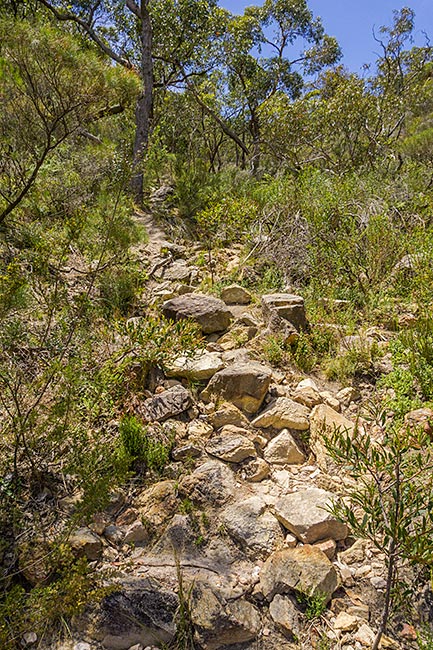
4000 x 6000 pixels digital photograph developed using Adobe's “Lightroom Classic” software from a RAW file taken with a Sony A6000 Digital camera.
|
|
|
|
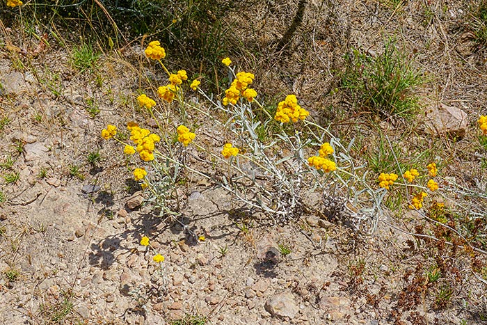
4000 x 6000 pixels digital photograph developed using Adobe's “Lightroom Classic” software from a RAW file taken with a Sony A6000 Digital camera.
|
|
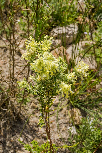
4000 x 6000 pixels digital photograph developed using Adobe's “Lightroom Classic” software from a RAW file taken with a Sony A6000 Digital camera. |
|
|
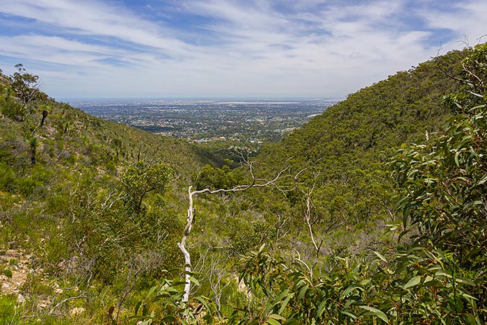
6000 x 4000 pixels digital photograph developed using Adobe's “Lightroom Classic” software from a RAW file taken with a Sony A6000 Digital camera.
|
|
|
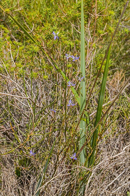
4000 x 6000 pixels digital photograph developed using Adobe's “Lightroom Classic” software from a RAW file taken with a Sony A6000 Digital camera.
|
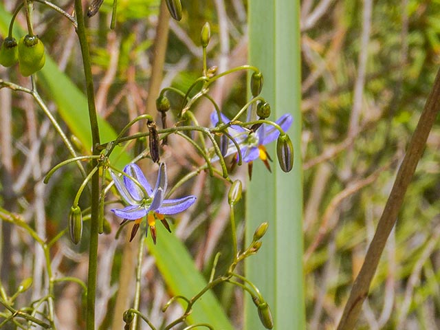
|
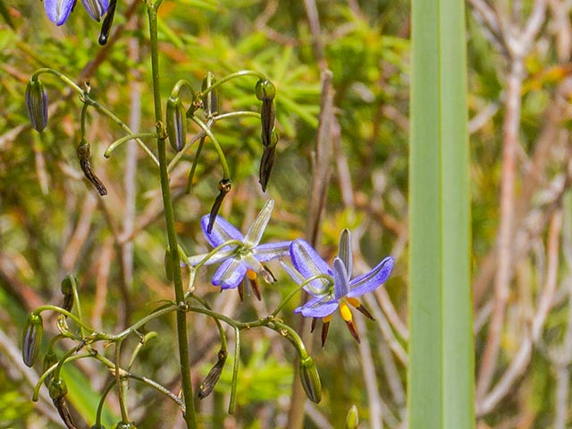
|
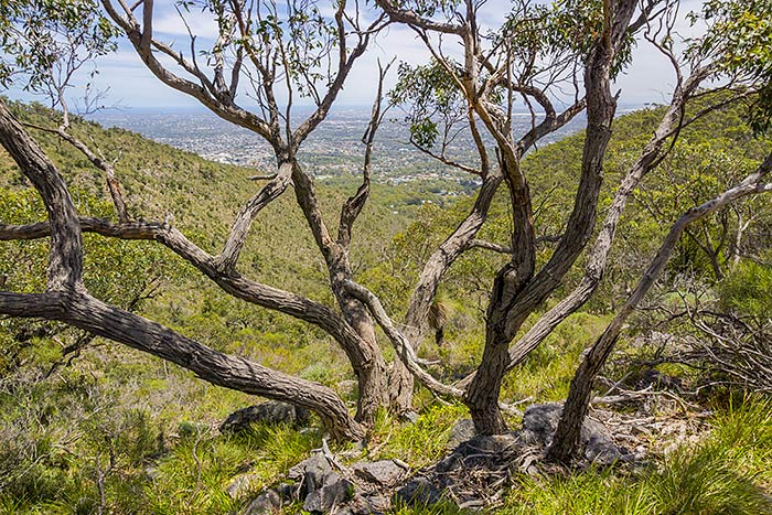
6000 x 4000 pixels digital photograph developed using Adobe's “Lightroom Classic” software from a RAW file taken with a Sony A6000 Digital camera.
|
|
|
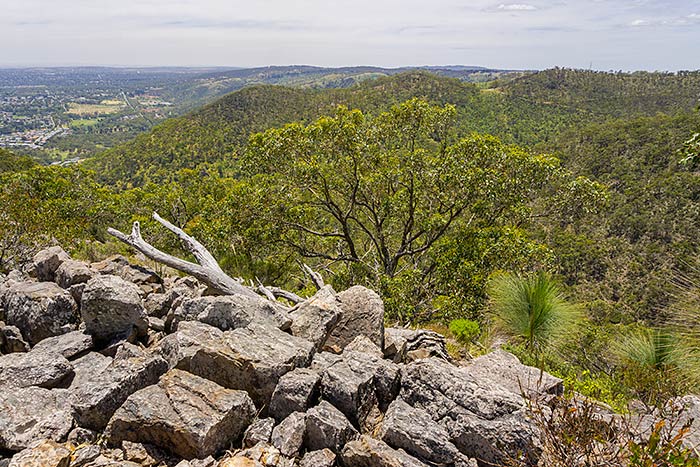
6000 x 4000 pixels digital photograph developed using Adobe's “Lightroom Classic” software from a RAW file taken with a Sony A6000 Digital camera.
|
|
|
| Prev | Monthly Display - November 2024 - Page 3 (of 5) |