Monthly Display - November 2024 - Page 1 (of 5)
Next

Neil Huggett's Gallery | Home Page Menu

List of past monthly displays


Monthly Display - November 2024:


A Trip to Black Hill Conservation Park

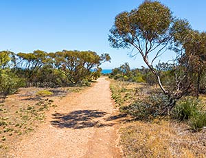
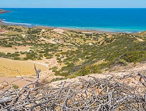
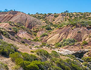
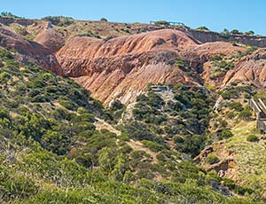
This month I want to present some photographs from my first trip to the Black Hill Conservation Park, made on 24th November 2016 (about 8 years ago). The recent work that has gone into this display is redoing all of the photographs used in this display from their stored RAW files, using Adobe's full “Lightroom Classic” software, instead of the originally used PhaseOne's “Capture One Express” software (that came with the purchase of the camera).

Black Hill is part of the Adelaide Hills, which are part of the Mount Lofty ranges. The Adelaide Hills generally run north-south along the east edge of the Adelaide plains. I first noticed Black Hill when I travelled by bus down St Bernards Road to go to work at Mawson Lakes from my home at Wattle Park. Black Hill seemed to be a separate higher mountain, with a handsome profile, sitting in front of the line of the mountain range that makes up the Adelaide Hills. Looking at some maps, I realised that the mountain I had been seeing was called Black Hill, and it was part of a conservation park. I did some quick drawings of Black Hill from the bus as I travelled past it on various days. Black Hill looked to be somewhere special, somewhere exotic.


View of Black Hill from St Bernards Road, Newton.

I wanted to go for a trip to the Black Hill Conservation Park, to see what it was like, to see if I got a better idea of this mysterious mountain. I searched for some information about the Black Hill Conservation Park on the Internet, and found a brochure about visiting the park and a map of the park provided by the Government of South Australia that I could download. Below is a section of the map of the Black Hill Conservation Park, provided by the Department for the Environment, Water and Natural Resources (DEWNR), Government of South Australia.


From looking at the map, I came up with a plan to get a bus to Maryvale Road (which runs off Montacute Road), go along the Buffer Zone Track to the Wildflower Garden, where there was supposed to be toilet facilities, check for other information there, and then probably go up a different track towards the mountain summit. From there it looked like there should be a vehicular track that should be able to take me towards the northern part of the park, including Ghost Tree Gully, Three Sugarloaves, Ambers Gully, etc. That was my initial plan. I would need to actually get to the summit to assess how long I would spend going along the vehicular track at the top.


I used part of this map to show the walk I actually did through the Black Hill Conservation Park, below:


During my walk through the park, I was also keen to try out a new Sony A6000 Mirrorless Digital camera I had recently purchased. I was curious to see the quality of the images it took, and interested to see how it performed in the field (from an ease-of-use point of view with having to carry and change a couple of lenses, and from the point of view of seeing how the camera went using just one fully charged battery).


Monthly Display - November 2024 - Page 1 (of 5)
Next